

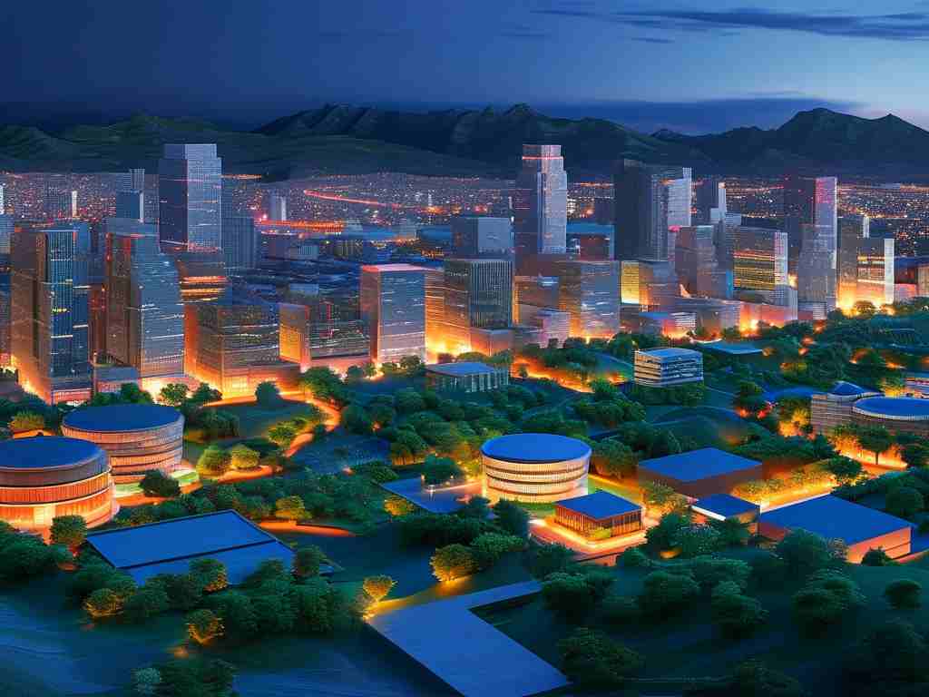
The evolution of geographic information systems (GIS) has transformed how we analyze and visualize spatial data, with 3D rendering playing a pivotal role in modern applications. From urban planning to environmental modeling, three-dimensional visualization techniques enhance data interpretation by adding depth and realism. This article explores five widely used 3D rendering algorithms in GIS, highlighting their technical principles and practical implementations.
1. Ray Casting for Volumetric Data
Ray casting remains a cornerstone technique for rendering volumetric datasets in GIS. This algorithm simulates light rays traveling through 3D space, calculating intersections with terrain or atmospheric layers. In environmental modeling, it enables the visualization of subsurface geological structures or pollution dispersion patterns. A simplified implementation might involve fragment shaders in WebGL:
void main() {
    vec3 rayDirection = normalize(vWorldPosition - cameraPosition);
    float stepSize = 0.1;
    for (float t = 0.0; t < MAX_STEPS; t += stepSize) {
        vec3 samplePoint = cameraPosition + rayDirection * t;
        float density = sampleVolume(samplePoint);
        // Accumulate color and opacity
    }
}
2. Level of Detail (LOD) Optimization
Modern GIS platforms leverage LOD algorithms to balance visual fidelity and computational efficiency. By dynamically adjusting mesh complexity based on camera distance, systems can render expansive city models without performance degradation. This technique proves critical for real-time applications like emergency response simulations, where a 10km² urban area might require switching between six LOD tiers during zoom operations.
3. Voxel-Based Terrain Rendering
Voxel grids provide an alternative to traditional polygon-based terrain representation. Unlike conventional DEMs (Digital Elevation Models), voxel systems store material properties at discrete 3D grid points, enabling realistic erosion simulations and underground utility visualization. Recent advancements combine sparse octree structures with GPU acceleration to handle datasets exceeding 1 billion voxels.
4. Screen-Space Ambient Occlusion (SSAO)
While not exclusive to GIS, SSAO enhances depth perception in 3D maps by simulating subtle shadowing between closely packed features. Municipal planning tools frequently employ this technique to improve the legibility of dense building clusters. The algorithm analyzes depth buffers in screen space, approximating ambient light occlusion without costly global illumination calculations.
5. Point Cloud Rendering
Lidar and photogrammetric surveys generate massive point datasets that challenge conventional rendering pipelines. Modern solutions combine spatial indexing (e.g., KD-trees) with GPU instancing to visualize billion-point datasets at interactive frame rates. Color mapping strategies often incorporate intensity values and RGB channels to differentiate vegetation from built structures.
Comparative Performance Analysis
A 2023 benchmark study compared these algorithms using a standardized urban dataset (5km² area, 10cm resolution):
| Algorithm | Frame Rate (fps) | VRAM Usage (GB) |
|---|---|---|
| Basic LOD | 45 | 1.2 |
| Hybrid Voxel-LOD | 32 | 3.8 |
| Optimized Point Cloud | 28 | 5.1 |
Future Directions
Emerging techniques like neural radiance fields (NeRFs) and hardware-accelerated mesh shaders promise to revolutionize 3D GIS visualization. These approaches aim to bridge the gap between scientific accuracy and artistic presentation, particularly for climate change projections and historical site reconstructions.
As GIS continues to integrate with IoT sensor networks and real-time data streams, adaptive rendering algorithms will become increasingly vital. The next generation of spatial analysis tools will likely combine machine learning with traditional computer graphics to automate feature generalization while preserving critical details.