
The reliable delivery of electricity underpins modern civilization, making the health and security of power grids paramount. Traditional inspection methods, often reliant on manual labor involving personnel scaling structures or traversing difficult terrain, present significant safety risks, operational inefficiencies, and coverage limitations. The advent of Grid Inspection Robot Technology marks a transformative shift, deploying sophisticated autonomous and semi-autonomous systems to safeguard infrastructure and personnel while vastly improving data quality and operational insight.

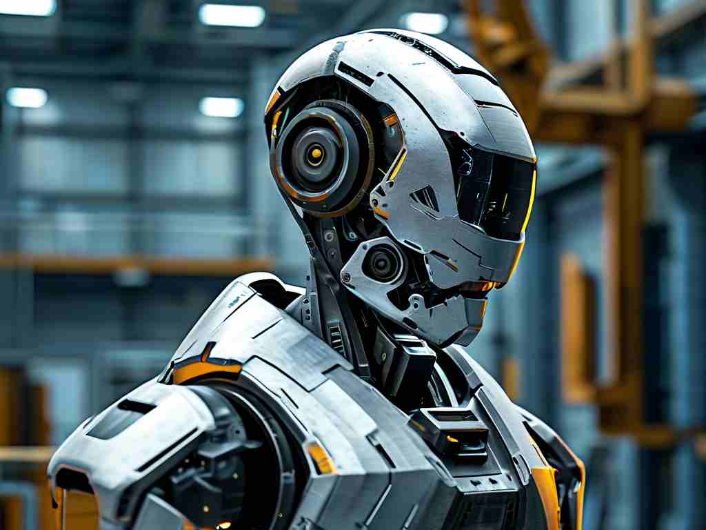
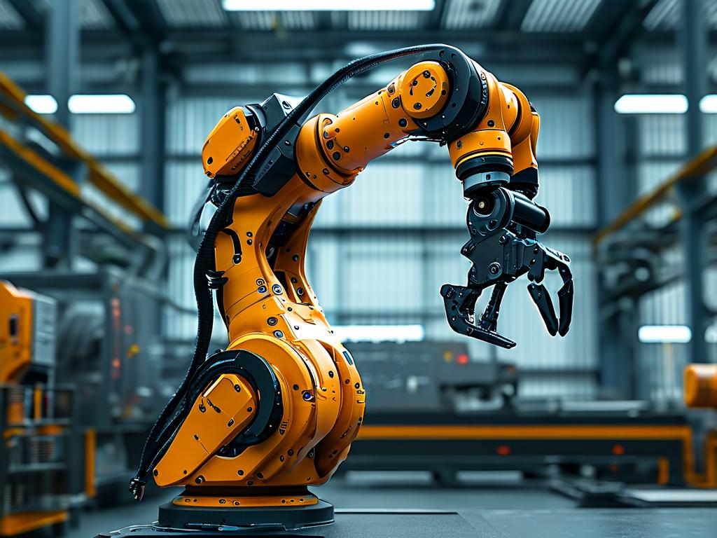
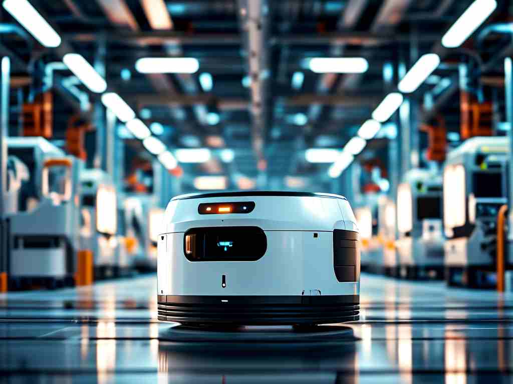
These specialized robots come in diverse forms, each tailored to specific grid environments. Aerial Inspection Drones (UAVs) are perhaps the most visible, equipped with high-resolution visible-light cameras, thermal imaging sensors, and sometimes LiDAR. They excel at rapidly surveying vast stretches of transmission lines, identifying overheating components (like faulty insulators or loose connections invisible to the naked eye), vegetation encroachment threatening lines, and structural damage to towers from storms or corrosion. Their bird's-eye view provides unparalleled context. For closer inspection or confined spaces, Ground-based Robots take precedence. These include tracked or wheeled robots capable of navigating substation yards, climbing specific tower structures, or even crawling along transmission lines themselves. Line-walking robots, equipped with rollers or magnetic wheels, traverse cables, performing detailed inspections right at the conductor level, checking for strand breakage, corrosion, and damage to vibration dampers. Underwater Remotely Operated Vehicles (ROVs) are increasingly deployed to inspect submarine power cables and underwater infrastructure near hydro plants or offshore wind connections, using sonar and specialized cameras.
The intelligence of these robots hinges on a suite of Core Technologies. Multi-Sensor Fusion integrates data from various sources – visual cameras, infrared thermal cameras, ultraviolet corona detection cameras, LiDAR for precise 3D mapping, gas sensors (like SF6 leak detectors), and acoustic sensors. This comprehensive sensory input provides a holistic health assessment. Autonomous Navigation and Path Planning are critical, especially in complex, GPS-denied environments like dense substations or forest corridors. Robots utilize Simultaneous Localization and Mapping (SLAM) algorithms, often aided by LiDAR point clouds and visual odometry, to build maps and navigate intelligently. Pre-defined routes or AI-driven dynamic pathfinding ensure complete coverage. Robust Communication Systems, leveraging combinations of 4G/5G cellular networks, dedicated RF links, or even mesh networking, maintain vital command and control links and enable real-time data streaming. Advanced AI and Machine Learning (Computer Vision) form the analytical backbone. Deep learning algorithms process the massive influx of visual and thermal data to automatically detect anomalies – identifying cracked insulators, corroded hardware, overheated joints, or animal nests – with ever-increasing accuracy, reducing the burden on human analysts and enabling predictive maintenance. Long-endurance Power Systems, utilizing high-density batteries, sometimes supplemented by inductive charging pads at strategic locations or even on-line charging mechanisms for line-walking robots, are essential for extended missions.
The advantages of deploying grid inspection robots are compelling. Enhanced Personnel Safety is paramount, removing workers from hazardous environments involving high voltages, heights, unstable terrain, or severe weather. Unprecedented Operational Efficiency is achieved through faster inspection cycles covering larger areas with fewer resources. Drones can inspect dozens of miles of line in a single flight. Superior Data Quality and Density results from consistent, high-resolution data collection from multiple sensors, creating rich digital records for asset management. Early and Accurate Fault Detection, particularly through thermal imaging and AI analysis, identifies potential failures before they cause outages, shifting from reactive to predictive maintenance. Reduced Operational Costs stem from lower manpower requirements, minimized outage times due to proactive repairs, and optimized maintenance schedules. Access to Inaccessible Areas, whether dense forests, steep mountains, or confined substation equipment, becomes routine.
Deployment isn't without challenges. Complex Environment Navigation remains difficult in dense urban canyons or heavily forested areas where GPS and communication signals are weak. All-Weather Operation robustness, especially for small drones in high winds, rain, or snow, needs continuous improvement. Battery Life Limitations constrain mission duration for demanding tasks. High Initial Investment in robots, sensors, software platforms, and training can be significant. Data Management and Analysis requires robust systems to handle the terabytes of collected imagery, thermal data, and LiDAR scans, and extract actionable insights efficiently. Regulatory Compliance regarding airspace usage for drones and operational safety standards is an ongoing consideration.
Looking ahead, Grid Inspection Robot Technology is rapidly evolving. Increased Autonomy will see robots performing more complex inspection sequences and even minor maintenance tasks with minimal human intervention. Swarm Intelligence, where multiple robots coordinate autonomously for large-scale inspections, holds immense potential. Integration with Digital Twins will see real-time robot inspection data feeding highly detailed virtual replicas of the grid, enabling unparalleled simulation, predictive analytics, and optimization. Enhanced AI Capabilities will improve fault prediction accuracy and enable robots to make more nuanced decisions in the field. Advanced Manipulation for robots capable of performing simple repairs (e.g., clearing debris, tightening bolts) is a key frontier. 5G/6G Connectivity will enable ultra-reliable, low-latency communication, crucial for real-time control and high-bandwidth data transfer, especially for video and LiDAR streams.
For instance, a drone equipped with a thermal sensor might identify an overheating transformer bushing connection. This data, tagged with precise GPS coordinates and a timestamp, is streamed via 4G to a central grid operations platform. AI algorithms instantly flag the anomaly severity. Simultaneously, the drone's high-res camera captures visible images for context. A maintenance crew is dispatched with the exact location and nature of the fault, preventing a potential failure. Meanwhile, a line-walking robot deployed on a critical transmission corridor uses LiDAR to create a millimeter-accurate 3D model of a tower top, identifying subtle structural deformations missed by previous visual inspections. This data feeds into the asset's digital twin, updating its stress model and predicted lifespan.
The integration of sophisticated sensor data processing is fundamental. Consider a simplified representation of how LiDAR data might be processed onboard or offboard for obstacle detection during autonomous navigation:
def process_lidar_point_cloud(point_cloud):
    """
    Processes LiDAR point cloud data for obstacle detection near power lines.
    Args:
        point_cloud: A numpy array of 3D points (x, y, z).
    Returns:
        obstacle_detected: Boolean indicating presence of significant obstacle.
        obstacle_location: Estimated centroid of detected obstacle cluster.
    """
    # Preprocessing: Filter noise & downsample (if needed)
    filtered_points = statistical_outlier_removal(point_cloud)

    # Segmentation: Separate ground, wires, potential obstacles (e.g., using RANSAC, DBSCAN)
    ground_model, wire_models, clusters = segment_powerline_scene(filtered_points)

    # Analyze non-ground, non-wire clusters for proximity to wires/tower
    for cluster in clusters:
        cluster_centroid = calculate_cluster_centroid(cluster)
        distance_to_nearest_wire = calculate_min_distance(cluster_centroid, wire_models)
        if distance_to_nearest_wire < SAFETY_THRESHOLD and cluster_size > MIN_OBSTACLE_SIZE:
            return True, cluster_centroid  # Obstacle detected near conductor

    return False, None  # No significant obstacle detected
In essence, grid inspection robots are far more than just mobile cameras. They are sophisticated data acquisition platforms powered by AI, robotics, and advanced sensors, fundamentally transforming how we monitor and maintain the critical arteries of our electrical infrastructure. By enhancing safety, boosting efficiency, and enabling predictive maintenance, this technology is indispensable for building the resilient, smart grids required for a sustainable energy future. Continuous advancements in autonomy, AI, and system integration promise even greater capabilities, solidifying the role of robots as essential guardians of grid reliability.